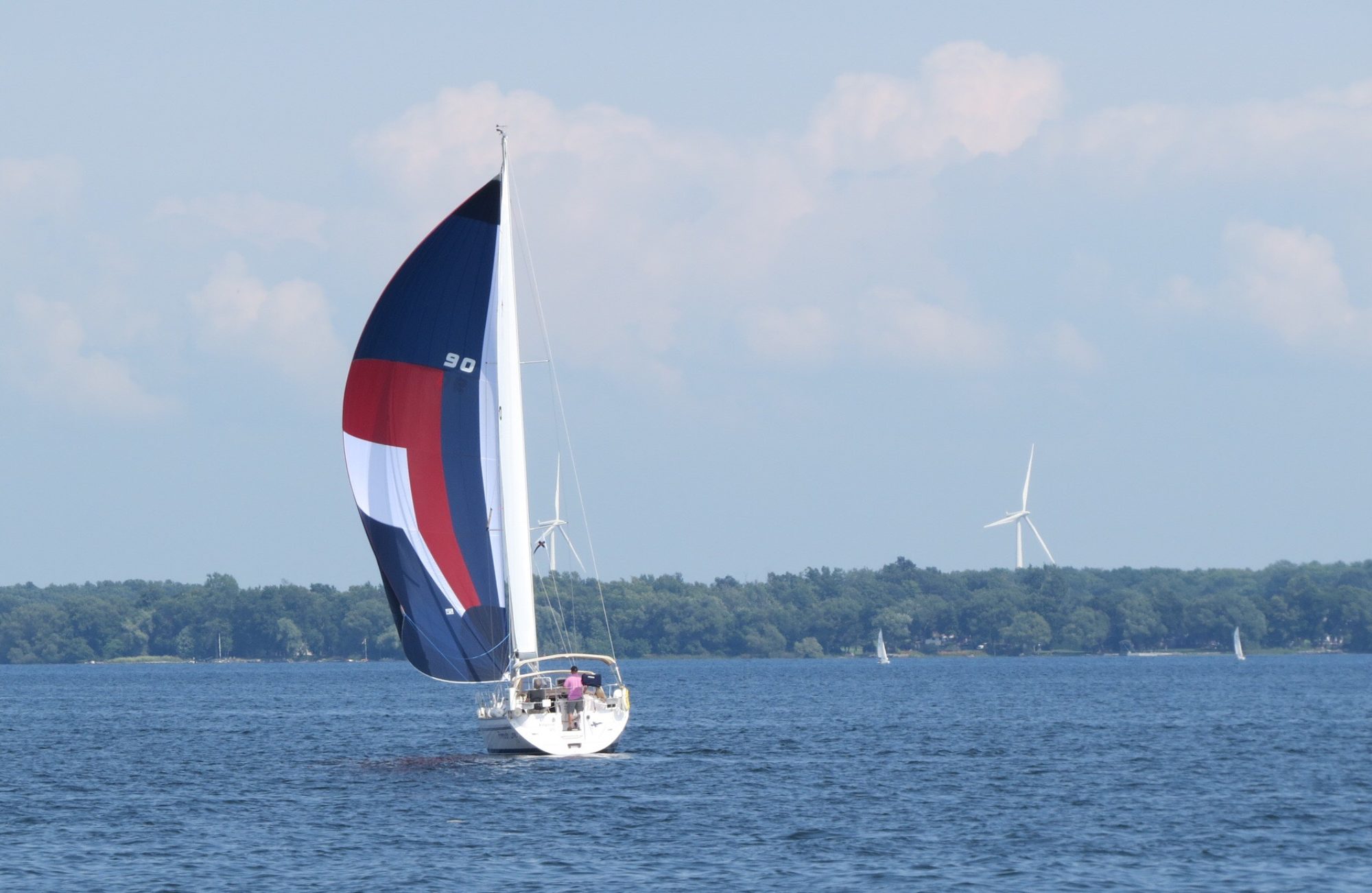


Leaving just before noon we set off for our overnight to Maine. After almost 28 hours and 166 nm we arrived in Maine. The weather was good for the whole trip, waves were not big but wind was light too. It was warm going down the 9 mile Shelburne Harbour but the winds off the Atlantic greeted us with the big chill requiring many more layers of clothes put on. It was a little bit bouncy as we headed SW to pick up Brazil Rock to take the outside route around Cape Sable. After rounding Cape Sable we set a course NW to pass between Seal and Mud Islands. Passing through these islands at the wrong tide can leave one with strong currents. We passed through about 9:30pm ADT in the dark. However, a large fishing trawler nearby w/o lights caused a bit of concern when it turned up on our radar. After connecting by radio he agreed to put on all lights until we were passed. The moonrise at 11:30pm ADT was a spectacular blood red ball appearing over the horizon off our sterns. During the night the engine seemed tougher and was producing more white smoke. Stopped the boat, put it in reverse for a few minutes and the problem disappeared which meant there was something caught on the prop. In the morning we had overheating incidents. The first was fixed by cleaning the raw water intake strainer which had been cleaned before we left but there was much plant life floating around. The second involved tweeting the impeller which didn’t make any sense but it worked.
Maine is infamous for the number of crab pots along its coast. We sighted our first line of pots 40 nm out in 700’ of water. However, it was a one-off and we saw no more for another 15 nm. Unfortunately we attracted fog before that so it became quite the challenge watching both the radar and and the water. Approaching land about 2pm ADT we thought the pots weren’t that bad. BUT entering the waterway amongst the islands the density of the pots grew dramatically as did the other boat traffic. It was impossible to steer a straight course and was quite a challenge to find any course at all. Fortunately the final run up to our harbour was mostly pot free.
When we were about 5 nm out we tucked up into pots and used the US’s border patrol app, ROAM to check in. We submitted our info and there was no invitation to video conference. Instead we rec’d a phone call to say we were checked and, to our delight, they granted us a cruising permit. The CBP website says you need to have an officer in person at the boat to get one!
Assume we all got enough sleep when not on watch as we were able to return to our routine of cocktails followed by dinner at 7pm EDT.

