Day 25 l’Anse de l’Orignal/Baie de Ha! Ha! 49 nm today 623 nm to date

Off today in sunshine and calm seas and by calm I mean glass like. The rule of thumb is to leave about an hour or so after low tide. The window is bigger but that’s the optimum. After some current dancing it settled in our favour.

Image may contain: ocean, sky, outdoor, nature and water
Bye bye Tadoussac
Image may contain: ocean, sky, boat, outdoor, nature and water
Ramble On enjoying a visit by the RCMP

Saw a few whales including a 30’ (Minkie?) we had to alter course to avoid. At various times seal heads popped up to see what the fuss was about. Just after 10am Ramble On got pulled over by an RCMP patrol boat. We slowed down but feigned that we didn’t know them. ? However, they then pulled us over, too. They took lots of pictures of us and the boat as they arrived. They asked to see the boat’s papers and my Pleasure Craft card. Handed the papers over and then went to get my card. Whoopsie — still on the mantle at home! When I looked it was not on my checklist. The officers, who were very friendly, didn’t seemed too bothered but suggested I have Tarja take a photo of the card and send to me. They said that more than likely we’ll get stopped again. These officers operate out of Québec City from a “mother ship” all the way into the Gulf of St Lawrence. It may be them we see again.

Image may contain: ocean, sky, outdoor, water and nature
A ship anchorage or graveyard ??

About 5:30 our two boats were rather banging together due the swell from the north. We decided to move a few miles to a more sheltered anchorage around the corner, Baie de Ha! Ha!, and not raft together. Both anchorages quite beautiful but then we’ve come to expect that.

Image may contain: sky, outdoor, nature and water
Cliffs in our first anchorage

Day 24 (still) Tadoussac

Lots of rain yesterday so we got many inside tasks done including the picture hung. Mid-afternoon the excitement began when a gale went through. Lots and lots of rain with a high of 47 knots. We were stern to the wind (no comments) and our dinghy kept flipping up. After many iterations of tying bits off we finally got it under control.

Image may contain: sky, ocean, mountain, boat, outdoor, water and nature
The famous Tadoussac Hotel

The good news is that we were able to get out to eat at Café Bohème. And what eats they were … best meal of the trip to date. Loved it so much we were back for lunch today. Walked a nature trail this morning around the point which was well documented on points of interest. Also visited the museum, Poste de Traite Chauvin. It documented the commercial ups and downs of the town from trading days in 1600s to the modern tourism. The remainder of the day we tidied up the boat from the storm including unwinding all the lines from the dinghy and putting back together some of the Bimini pieces that had pulled out.

Image may contain: cloud, sky, outdoor, nature and water
Nature walk around the point
No photo description available.
If the St Lawrence River we’re drained the Saguenay River would still have 180m! This plaque nicely illustrates this


No photo description available.
Boat’s track at a lumpy, windy dock in Tadoussac Tuesday, Wednesday ?
Image may contain: indoor
What’s level on boat to work with when hanging a picture ????

Days 22 & 23 Tadoussac 22 nm today 574 nm to date

Set off at 7am under clear skies with little wind. Almost warm! Near Tadoussac the winds came up from the SE but we were soon into the marina after dodging the 2 ferries that operate across the fjord. Tadoussac is an interesting old village visited by Jacques Cartier in 1535 and established as a trading post in 1599.

Image may contain: ocean, sky, mountain, outdoor, water and nature
Ramble On heads to the west shore to give the up bound freighter room
Image may contain: sky, mountain, ocean, outdoor, nature and water
Tadoussac harbour comes into view


Image may contain: sky, cloud, tree, outdoor and nature
A parking lot? Only in summer.

Beside the Marine Mammal Interprétation Centre there is a parking but only in summer. It is the basin of a large, old dry dock that in the winter they use to store their boats. The cradles are set out, the dry dock is flooded and boaters drive their boats in at high tide and into their cradles. The lock door is shut and the dry dock drained. Very ingenious.

Image may contain: sky, outdoor, water and nature
The old dry dock as it was
Image may contain: outdoor and nature
Cradles “stored” for the summer by the dry dock door


We also toured the Mammal Interprétation Centre which had some good exhibits regarding the whales in the area and an excellent movie about rescuing a calf whose mother had died. After being resuscitated she was returned to the water where she was adopted by a mother with a calf.

Image may contain: ocean, water and outdoor
Fabulous photo from the interpretation centre

We are here tomorrow due to lots of rain and possibly the following day due to high winds.

Image may contain: ocean, sky, boat, outdoor, water and nature

Image may contain: sky and outdoor

Day 21 Baie Éternité/Anse St Jean in the Saguenay 21 nm today 552 nm to date

Image may contain: people standing and outdoor
Queueing at the boulangerie

Off to the boulangerie about 8:30 but had to wait outside while others were served. Then off to Café Rose for breakfast. Proprietor thought it nice that we had come to visit from Canada. In the art Shoppe next door the woman asked where we were from and she happy declared she’d visited Canada many times. So guess we really are TROC.

Image may contain: sky and outdoor
Carving atop the shelter by the docks
Image may contain: sky, house, outdoor and nature
Longest woodpile we’d ever seen


Image may contain: mountain, sky, outdoor, nature and water
From this height one can see the shoal

Returned to Baie de l’Éternité, anchored and went ashore to explore. A lot of climbing through the woods but decided we shouldn’t go too far. Good thing, as when we returned to the boats Ramble On was aground. We moved forward and they untied from us and went out a ways to wait for us to reposition the anchor a bit further out. The bottom had some crazy shoal fingers so we ran aground. Finally free after Chris came in his dinghy to play tug boat and push our bow around. We decided a better/safer idea was to continue the 8 nm down river to return to Anse St Jean where we arrived just before 6:30.


Day 20 Sainte-Rose-du-Nord in the Saguenay 21 nm today 531 nm to date

Nice sunny day, almost warm! Both boats needed fuel BUT two cruisers were ahead of us. Over two hours later it was our turn. Nudging up to a fuel dock with a 3 knot current (dock is inline with the current) is surprisingly straight forward when you use the current. By 12:30 we were off and doing 9-10 knots out the buoyed channel. After the channel we were able to have a pleasant downwind sail to Sainte-Rose-du-Nord, a charming little village founded about 1840. Surprising as Tadoussac, founded in 1610, is only 42 nm down river from here. But, like Ontario, the press for more land didn’t come until the UELs and others arrived after the US revolution. The huge pier we are on was built in 1905 and has more recently had added floating docks behind it. The tide here is about 14’. After a stroll around the village we had dinner at the Rose Café. It’s a one-woman operation. She was a delight and very funny, she had a quip for almost everything. Food was good, too.

Image may contain: sky, ocean, outdoor, water and nature
Race for the fuel dock, we lost
Image may contain: sky, cloud, outdoor, water and nature
Ramble On’s turn to push against the 3 knot current to the fuel dock


Image may contain: one or more people, ocean, outdoor, water and nature
3+ knots of current puts this mark in motion


Image may contain: sky, outdoor, nature and water
Amongst other things this is pellet storage. The large silos are very big-notice the trailer at the base of the right one to get the perspective


Image may contain: 1 person, sky, ocean, cloud, outdoor, water and nature
All tucked up. And, yes, it is low tide
Image may contain: outdoor
110+ year old pier still holding well.


Image may contain: sky, mountain, tree, outdoor, nature and water
Town charmingly laid out in the valley

Image may contain: sky, mountain, outdoor and nature

Image may contain: one or more people, tree, sky and outdoor
Dinner at the Rose Café – tasty and fun


Days 18 & 19 Chicoutimi 24 nm today 509 nm to date

Image may contain: ocean, sky, mountain, cloud, outdoor, water and nature
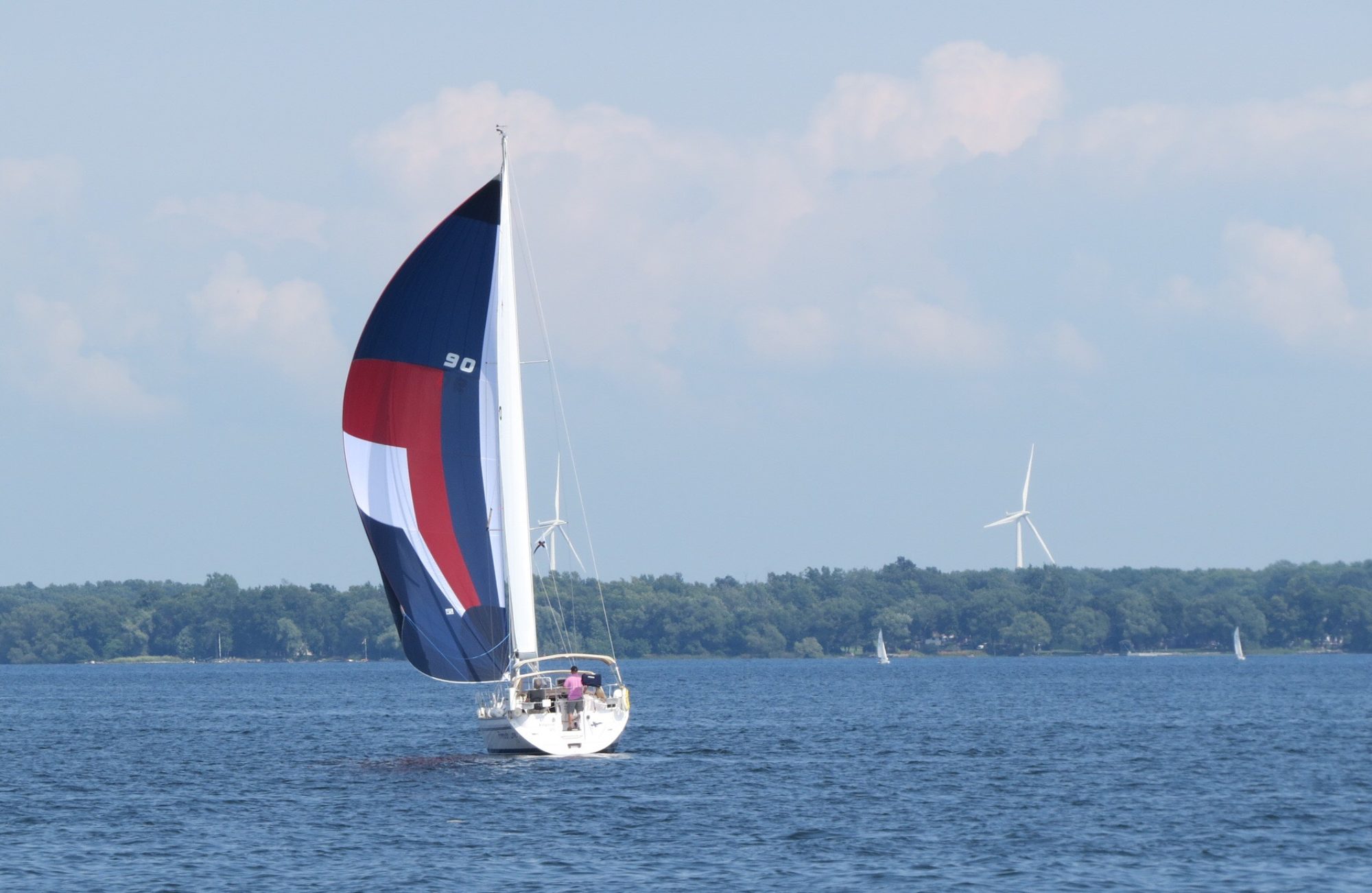
Lovely morning with quite good winds so finally some sailing. Unfortunately, the wind was mostly from where we wanted to go so after about 2 1/2 hours we downed sails to get on with it. There was a bit of current against us until the river narrowed and then there was a lot of current against us, 2 – 3 knots worth. So a slow and uneventful slog up the river to Chicoutimi.

Image may contain: sky, ocean, cloud, mountain, outdoor, water and nature
Dock is positioned so boats can be bow to the current

At the Yacht Club de Chicoutimi is was an exciting docking against 3 knots of current. Boats well tied up to manage the current. Older, dated building but washroom/shower/laundry areas have been recently renovated and very nice. Dinner out at Inter …. this is quite a bustling town with many services and good restaurants.

In the morning the 17′ spring tide had Image may contain: outdoorthis ramp in reverse incline with water up to this side of the gate !


Nanci and John departed for a few days in Québec City and then home to Kingston. Good crew, the boat and I were well taken care of. My new crew, Debbie, arrived late afternoon.

Image may contain: sky and outdoor
Classic old church but quite different from the single spires we’ve seen up until now
Image may contain: cloud, sky, ocean, outdoor, nature and water
Opposite Chicoutimi fine cliffs, views and homes


Day 17 La Baie 24 nm today 486 nm to date

Image may contain: mountain, sky, cloud, outdoor, nature and water
7am

Woke up to wisps of mist wrapped around the hilltops. Set off about 9am under sunny skies and little wind.

Difficult getting anchor up probably due to the rocky bottom —- had me worried for a few minutes!


Image may contain: mountain, sky, outdoor, nature and water
Ramble on 300’ off the cliffs in 400’ of water

Going by the towering cliffs only 300’ away and yet in 400’ of water. Several hamlets along the way in the few spots that weren’t cliffs. About noon we turned into Baie des Ha! Ha! (I kid you not) and the cold winds picked up and we had to really bundle up. We arrived at La Baie at their quite new cruise ship terminal that has places for about 5 boats in behind. Very nice facility meant to handle hundreds of passengers at a time. Happily for us there were no ships there. Nice town combing the old with the new where the new is all to serve cruise ship passengers. Lovely dinner in the cockpit under sunny evening skies.

Image may contain: sky, tree, outdoor and nature
A 30’ Virgin Mary placed here in 1881
Image may contain: cloud, sky, ocean, mountain, outdoor, water and nature
A the new cruise ship terminal


Image may contain: 1 person, sky, outdoor and water
Checking in at the marina office — very cute little tug


Image may contain: one or more people, sky and outdoor


Image may contain: sky, cloud, tree and outdoor
Wonderful old church with dressed stone on the front facade


Day 16 Baie de l’Éternité 8 nm today 461 nm to date

Easy start late morning as we only had 8 nm to go. Very gusty into the mid 20s making it cold. Periods of wonderful sunshine fallen by driving rain. What fun! Baie de l’Éternité is quite spectacular with an enormous cliff at the entrance. The charts shows mooring balls but a post on Active Captain stated they were no longer there. True enough no morning balls so Finnish Line 2.0 anchored and Ramble On rafted off. Came in at low tide and let out extra anchor rode as the tide height is 15’. Most of the bay is 100s of feet deep and but gets rapidly shallower near shore. We dropped at 30’ but the boat sits in 90’. Lots of swinging around as the wind goes from almost nothing to a 15-20 knot gust. I wasn’t feeling well but Nanci and John used the dinghy you go ashore and explore. Onshore is provincial park land with an information centre about the park. They discovered a large cave formed by an enormous boulder falling on top of other rocks forming a cavern.

Image may contain: ocean, mountain, sky, cloud, outdoor, nature and water
Cliff at entrance to bay is 400-600’
Image may contain: ocean, sky, mountain, boat, cloud, outdoor, nature and water
Our home for the night
Image may contain: sky, mountain, cloud, ocean, outdoor, nature and water
Anchored and rafted together
Image may contain: tree, plant, outdoor and nature
John under the boulder


Image may contain: tree, plant, bridge, outdoor and nature
Another view of the cavern


Day 15 Anse St Jean in the Saguenay 60 nm today 453 nm to date

Off the dock this morning at 6:30 and although the rain had finally ended the morning was very cool, miserable and foggy. Turned on the radar just in case although visibility was about 1/2 mile. Both boats were visited by small birds seeking free rides and a bit of nosh. Also saw more whales and one seemingly lone seal. The mouth of the Saguenay was a bit of a dog’s breakfast. We’d ride with the current in our favour only to run into churning water which turned the current against us but then it would shift back. Over the course (or perhaps coarse) of an hour the range of fluctuation was over 3 knots. Entering into the Saguenay and passing Tadoussac about noon the sun came out and it became more pleasant. The sunshine certainly helped us enjoy the beauty of the Saguenay fiord. Very steep, mountainous sides with many, many cliffs. Arrived at a delightful marina at Anse St Jean about 3:30 and had Prosecco to celebrate John and Nanci’s 30th anniversary! Who does that anymore?? 

Image may contain: outdoor, water and nature
Chris caught a calf whale
No photo description available.
My companion, visited 4 or 5 times


Image may contain: ocean, mountain, sky, outdoor, nature and water
Into the Saguenay and past Tadoussac (on the right)


Image may contain: cloud, ocean, sky, mountain, outdoor, nature and water
Such a wonderfully, beautiful place
Image may contain: sky, outdoor, water and nature
Ramble On along a steep side of the Saguenay

Day 13 Port de Refuge at Cap-à-l’Aigle 65 nm today 393 nm to date

Set off at 5:30 under pleasant sunny skies. There was significant freighter traffic but the river is wide here so no biggie. As predicted, the current was a knot and a half against us for the first hour or so and then it turned. Boy did it turn!! At one point we enjoyed a period of 13.5 knots and were happy we weren’t fighting that!

Image may contain: ocean, sky, boat, mountain, outdoor, water and nature
John and Nanci enjoy the sunshine and the view

Very beautiful scenery with cliffs, mountains and surprisingly many villages and other housing even on the islands like Iles aux Coudres. We arrived just before 1pm and found the marina with few launched boats. We were told there were no services but we were able to hook up to shore power and through other boaters get the Wi-Fi, gate and washroom codes. What else do we need? There is an amazing waterfall behind the marina plus a quite steep hill to reach the few houses in town. Due to weather, NE winds (bad for here) and a repair Chris needs to make, we will stay here 2 nights.

Image may contain: 1 person, sky, ocean and outdoor
Contented skipper with coffee


Image may contain: ocean, sky, boat, mountain, outdoor, nature and water
This mark is really motoring along! Gave us 13.5 knots – not bad!


Image may contain: ocean, sky, cloud, outdoor, nature and water
Ramble on manages the river traffic


Image may contain: ocean, sky, mountain, cloud, outdoor, nature and water
Ski hills with just a touch of snow left … just east of Mont Ste Anne
Image may contain: outdoor, water and nature
Beluga whales … several pods of them. Chris took this pic and I use it since mine all looked like white blobs ?‍♂️
Image may contain: sky, cloud, ocean, outdoor, water and nature
Into the harbour ….


Image may contain: plant, outdoor, water and nature
The falls behind the marina


Image may contain: cloud, sky, ocean, outdoor, water and nature
Boat launching. Most boats along the river are on wheeled cradles and get backed in by a tractor. Once floating free of the cradle there is little time and room to manoeuvre away from the wall. Good entertainment.